| » | » | » |
When Ben (Gnorga) and I scheduled this day out, Tuesday, April 26th, 2005, our initial plan was a late winter / early spring ascent of longs Peak, but with a flaky weather outlook, we ended up doing a snowshoe ascent of Mayflower Hill, roughly 12,500 feet elevation, north of Leadville, Colorado. If the weather had turned out better than expected, we were ready for a run at Atlantic Peak, 13,841 feet , but while it did improve some in the afternoon, it wasn't stable enough.
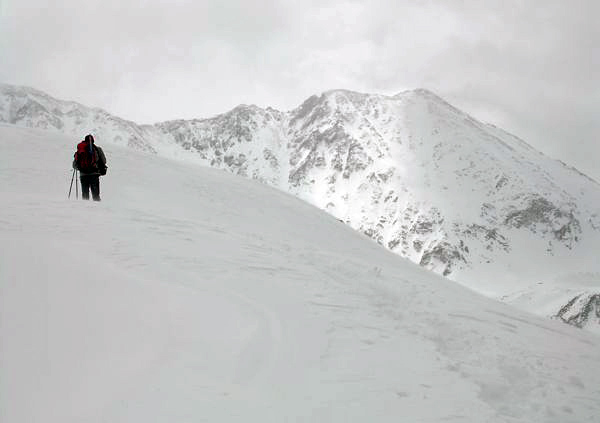
With high winds and low visibility most of the morning, we were close to the Mayflower Hill's summit when we finally started getting some good shots. In this picture, I caught Ben passing by Drift Peak, with Fletcher Mountain just out of the shot to the left.
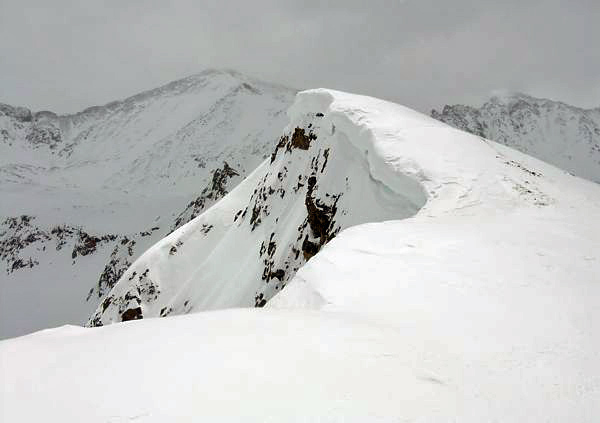
As I approached the summit, a sliver of sunlight really enhanced the contrast between it and Atlantic Peak in the background.
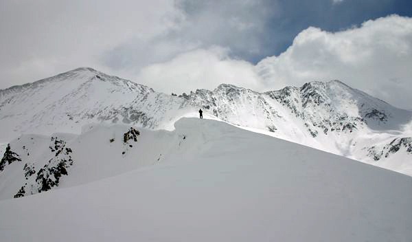
Ben held up while I topped out to get this shot with Atlantic Peak, Fletcher Mountain, and Drift Peak standing tall behind me.
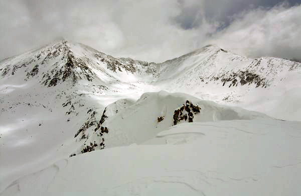
As I stood on the summit, the visibility continued to improve, giving me this great view looking east at Pacific (left) and Atlantic Peaks.
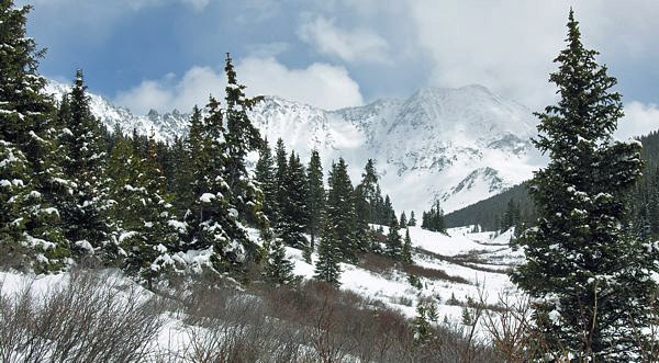
Back down now, and only a few minutes from the trailhead, I was able to get one last good shot. Atlantic peak sits just behind the left tree, with Fletcher mountain center, and Drift Peak to the right.