


| » | » | » | » |
We had the alarm set for 4:00 AM, Saturday, September 20th, 2014, for a summit attempt on Pawnee Peak in the Indian Peaks Wilderness Area. Who knows why, but both Suzy and I had tossed and turned all night, so when the alarm went off, we immediately agreed to try again tomorrow (Sunday), and went back to bed. We woke up somewhere between 7:30 and 8:00 AM, and I made some coffee and turned on the CBS Morning Show. About 9:00 AM though, Suzy recalled that it was supposed to rain Sunday, and suggested that maybe we should get out anyway, even with a late start. So we grabbed our stuff and hit the road.
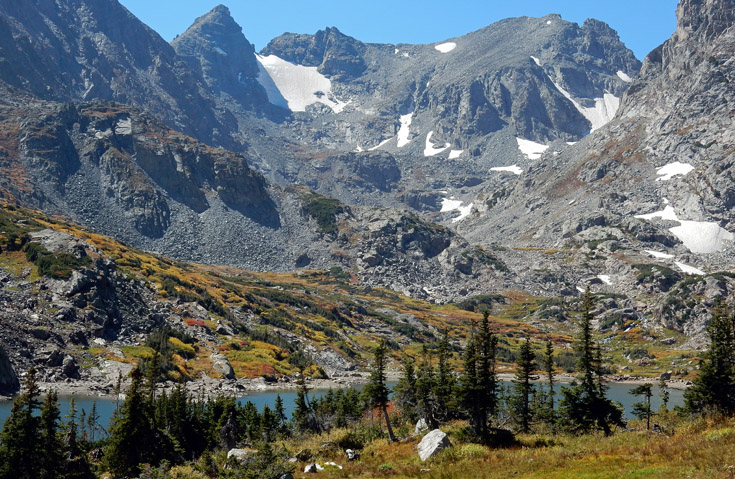
It was around 11:30 AM when we arrived at the Long Lake Trailhead, but not unexpectedly this late in the day, the parking lot was full. We had to drive back to the day-use parking at Brainard Lake, and hit the trail from there. It was now 12:00 PM - we were 5 hours behind schedule and starting out 1.5 miles from the trailhead. Still, the weather was perfect, and we had pretty much scrapped our plans and were just out for a hike to wherever we got to. As the first picture shows, taken nearly an hour up the trail, it was a beautiful fall day!
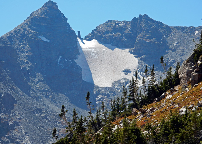
Two hours up the trail now, at 1:55 PM, I had to get this shot of Navajo Peak, with Dicker’s Peck at the top of the snow field. The trail had steepened up, and our speed naturally slowed. If we had gotten up with the alarm this morning, we probably would have been right here in this same area, but heading back down after summiting.
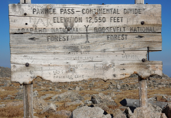
We finally arrived at Pawnee Pass on the Continental Divide at 3:36 PM, and I was amazed at having made it this far. The summit of Pawnee Peak was only four hundred vertical feet away though, and even this late in the day, the weather was still perfect, so we just kinda kept on going.
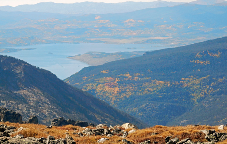
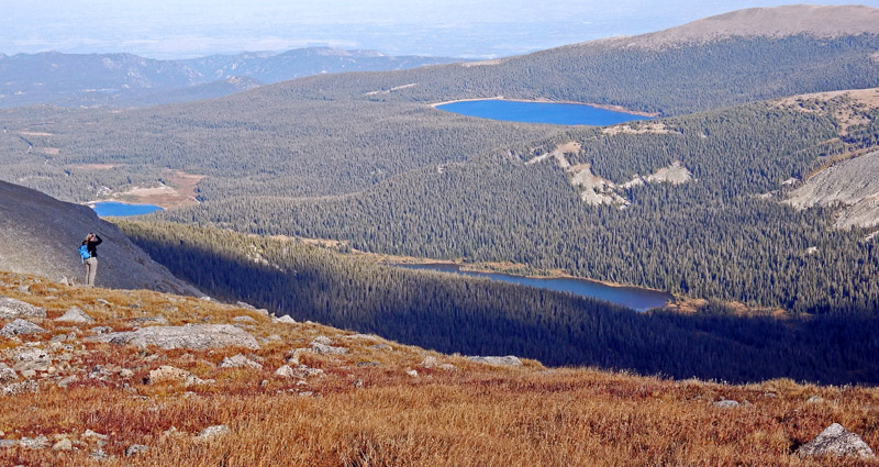
Just five minutes after leaving the sign on the pass, we saw Lake Granby way off on the west side of the divide. Even with the haze, the fall colors around the lake really caught our eye.
Surprise surprise - we made it to the summit at about 4:15 PM. This was when it got weird though. I had just put my pack down when I became aware a faint swooshing sound that was quickly getting louder. Feeling a really creepy eerie sensation, like a Pterodactyl was coming down on me, I immediately went into a crouch and turned my head to see what the hell was going on. As I turned to look, a glider went right over our heads. What a rush! We had not even seen it coming. I don’t know what Suzy thought, but it scared the crap out of me. I suspect the pilot had seen us approaching the summit and timed his, or her, approach accordingly to give us a thrill. After realizing the coolness of what had just happened, I groaned in agony knowing that this would have been such a great picture - and I missed it!
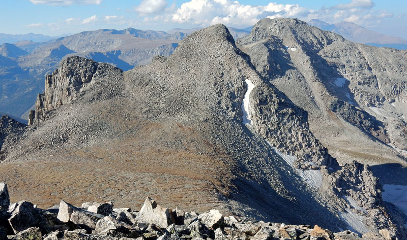
Anyway, now that the flyby excitement was over, I took this shot looking south. The slight haze and late afternoon sun didn’t help the picture any, but it was still a view worth documenting. While this peak is 57 feet short of being a 13er, these days it’s more about the view during the hike and at the summit for us.
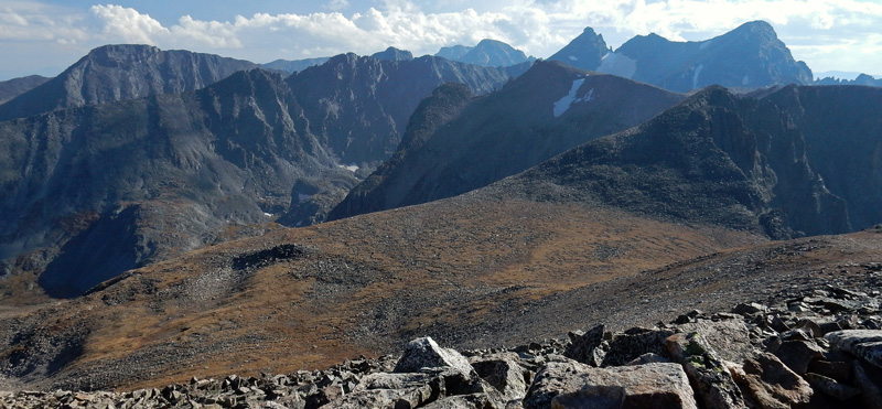
The view north showed (left to right) Mount Toll (another wanna-be 13er at 12,979 feet), Paiute Peak, and Mount Audubon, which we had summited just two weeks earlier - hit by a graupel storm on the way back down too, I might add.
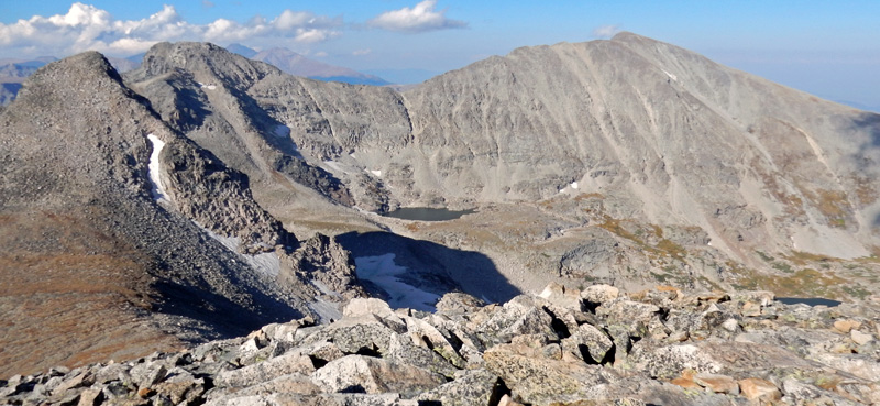
Taking a closer look at Mount Toll now, I really wished I had a couple more hours to run over and tag it’s summit before heading back down. It just looked like a great place to sit and contemplate the meaning of life.
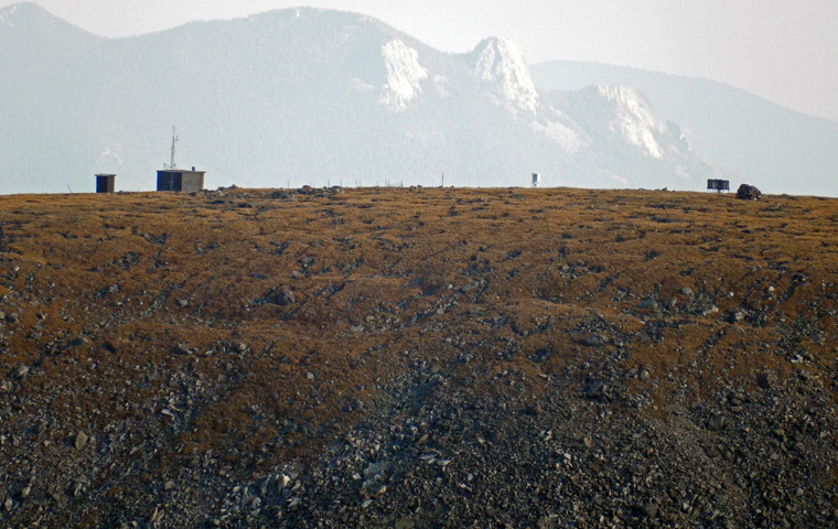
On the way up to Pawnee Pass, we had looked over at Niwot Ridge and saw what we thought were some large boulders. However, going down now, it suddenly occurred to us that this was the Niwot Ridge LTER (Long-Term Ecological Research site), home of the Niwot Ridge TundraCam: "A live "steerable" mountain webcam". Confirming this with the binoculars, I steadied the camera on a rock and zoomed in for this shot.
A few days after this outing, on Friday, September 26th, I was online playing with the TundraCam and got the two screenshots below - tweaked with Photoshop Elements of course (I tweak just about everything).
After taking the shot of the Niwot Ridge LTER, I looked over at Suzy and took another shot, before putting away the camera, of her enjoying the view of Long Lake, Left Hand Reservoir, and the Brainard Lake Recreational Area.
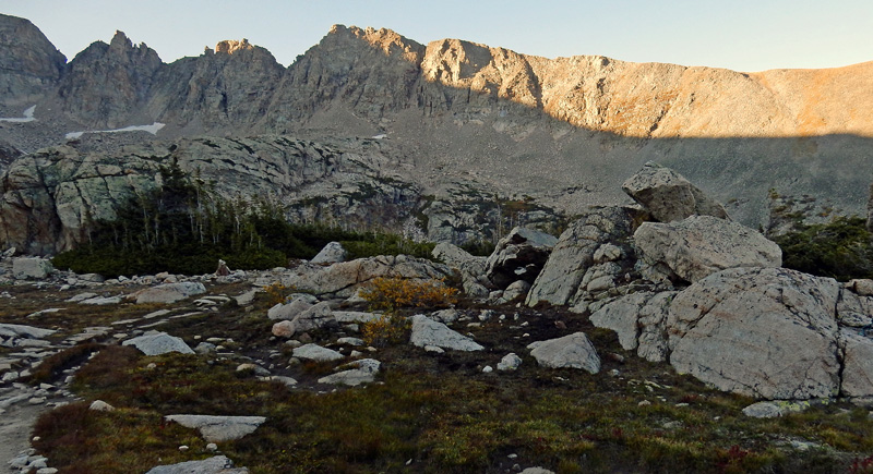
We were just getting down to timberline when I stopped for a shot showing the late day sun on the ridge to the north. We normally plan our activities so we’re back out before dark, but this wasn’t going to be the case today. We were familiar enough with the trail though, and we had headlamps, so considering how much fun we were having, we just didn't care.
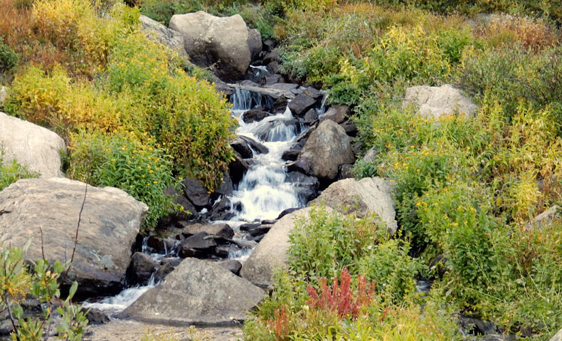
It was only 6:39 PM when I took this photo passing a beautiful mountain stream, but due to the fading fall daylight, it was our last picture of the day. It would still be a couple hours before we made it back to where the Jeep was parked, but we spent most of that time pleasantly reflecting on how great the day had turned out, even with our wishy-washy start.
When we got back to the Jeep, using headlamps for the last half hour, it was about 8:50 PM. Breaking out two nice thick peanut butter-n-jelly sandwiches, we started up the jeep and headed home.
GPS stats: trailhead to trailhead in 8 hours, 52 minutes; a round trip distance of 12.77 miles; a total elevation gain of 2,552 ft.; with a max elevation of 12,943 ft, which is the official height of the Peak; however, the GPS, not adjusted for the current barometric pressure, read 12,993 ft., a 50 feet difference.
Indian Peaks Wilderness @ SummintPost.org
Colorado's Indian Peaks: Classic Hikes and Climbs
Hiking Colorado's Indian Peaks Wilderness